

Screenshots


About this app
Take precise pictures with our Map Camera Pro, which automatically adds timestamps, map stamps, and real-time location information to your images. With the map camera app, it's easy to add latitude, longitude, and weather details to every photo. Use Map Camera: Geotag Photos & Add GPS Location to track your current position and organize your photos efficiently. Capture and share your best travel moments by sending geotagged images to your loved ones. How to Use Map Camera: 1. Install the Map Camera: Geotag Photos & Add GPS Location app on your smartphone. 2. Use the camera, select from a variety of advanced templates, and set the stamp formats and settings to your liking. 3. Start taking photos with automatically added GPS location stamps. Key Features: Wind: Measure wind speed Humidity: Display current humidity Pressure: Measure atmospheric pressure Address: Add manual or automatic address details Weather: Display the temperature in °C \°F. Custom GPS Camera: Includes aspect ratios, front & flash, focus control, timer, dashcam level, and filters Why You Need the GPS Camera App: Add satellite map stamps to your photos Take precise images with date/time stamps and geotags. Photos with location tags are easy to organize and find. You can also securely track locations with GPS geotag images Include longitude, latitude, address, date, time, and weather on each photo Whether you are using it for professional documentation or to organize your gallery, this Map Camera is your all-in-one tool for location-tagged photography. Download the Map Camera Photos Geotag & Add GPS Location app today to explore all these features and more!
What's New
Latest version 1.0 with bug fixes and performance improvements
Enhanced security and stability
Optimized for better user experience
Developer
Trusted developer with verified applications on our platform.
App Information
Download Stats
Safe Download
This app has been verified and is safe to download. No malware detected.
You Might Also Like
More apps from Photography category
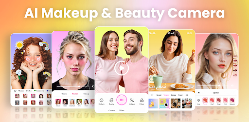

Selfie Camera - Beauty Camera
iMediaStar


FaceFancy-Face Swap & AI Photo
SZYJ Technology


StyleSwap: Outfits & Faces
SkySoft Inc
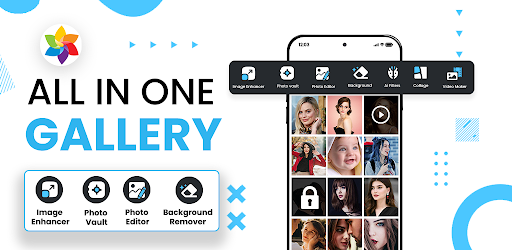

AI Photo Editor: Gallery Vault
T21 Games


HD Camera: AI Beauty
UniStarSoft

Photo Album F-Stop Pro
Seelye Engineering